Enp China Databases
The Enp-China project has developed two major databases for research on modern China. They are designed to serve as fundamental resources for the study of people and places in China between 1830 and 1949. These databases were conceived as part of the research agenda of the ENP-China team, especially through the projects and case studies it explores. Their purpose and coverage, however, extends beyond the topics actively pursued in such research and aims to provide essential data and tools.
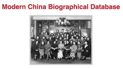
The MCBD aims to collect biographical data on any individual active in China, both Chinese and non-Chinese, through systematic data mining in source books such as directories, biographical dictionaries, Who’s who’s, etc., in newspapers and periodicals, and in the academic literature. The design and structure of MCBD are described in detail in the MCBD User Manual.
Modern China Geospatial Database
The MCGD aims to collect place names in their various denominations and to develop a historical gazetteer for the identification of place names in both Chinese and non-Chinese sources, and to provide their coordinates (latitude/longitude).
- MCDG Online Maps: this is a collection of shape files that reconstitute the administrative geography of China from 1820 to 1949 at various levels (Province/省, Prefecture/府, County/縣). For the 1820-1911 period, we relied on the excellent work done by the China Historical GIS projet at Harvard University, except for 1909 which we recreated entirely from a new set of maps. For the Republican period, we recreated the successive provincial boundaries for each sub-period and we drew a full map of China at the county level for 1934. MCGD Online maps also includes a set of geo-referenced historical maps (rasters). Finally, we also publish here the thematic maps produced in the course of research to build an online historical atlas.
- MCGD Location Finder: the Finder serves to identify locations based on their name, whatever the language and the system of transliteration, and to provide their coordinates.
- MCGD Bulk Finder: it is an interface developed to upload a csv file containing place names and parse them in the historical gazetteer.
- MCGD Datasets: the historical gazetteer is made up of two connected files, Names and Locations, in a Postgres database. The PostGres database is not accessible directly by external users, but the datasets are saved and updated regularly on our Zenodo account.

